Troll Falls Kananaskis AB Canada
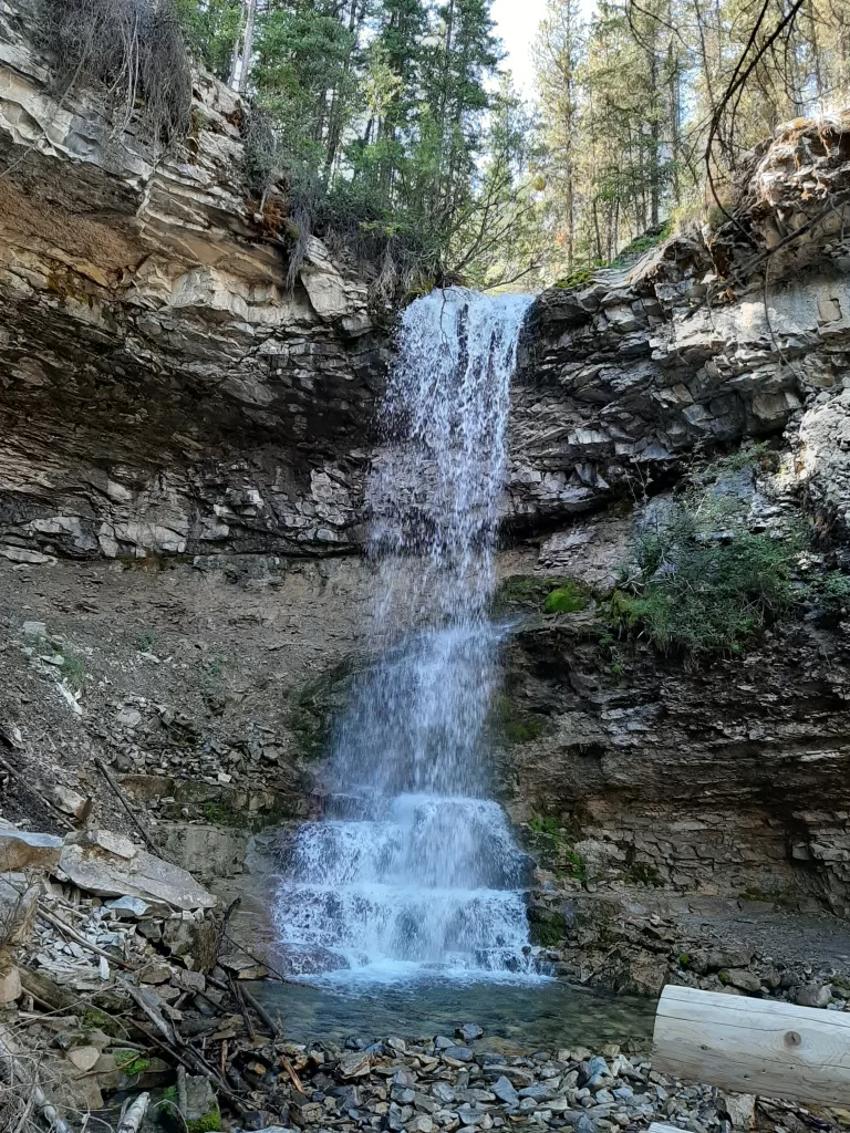
Troll Falls Kananaskis, AB is a waterfall located in the Evan Thomas Recreation Area which is in Kananaskis country.
This 3.4 km out-and-back trail will take about 90 minutes to complete, it is very popular with locals and tourists because of its beauty, accessibility, and even elevation (35m).
Distance: 3.4 km (2.1 mi) out and back
Elevation: 35 m (114 ft)
Highlights: Waterfall, Mountain Views, Forrest Scenery
Facilities: Nearest facilities are located in Kananaskis Village.
Difficulty: Easy
Optional Gear: All-Terrain Stroller, Carrier, Balance Bike, Bike, Snowshoe, Cross Country Skiing,

Getting to Troll Falls
From Calgary: Take the Trans-Canada (Hwy 1) west approximately 70 km to Kananaskis Trail (Hwy 40) and follow that south for 25 km to Nakiska Ski Area. Turn right onto Mt Allan Dr. and follow it for 1 km. Take your first right onto the gravel road that leads to Stoney Day use parking area.
From Canmore: Take the Trans-Canada (Hwy 1) east approximately 30 km to Kananaskis Trail (Hwy 40) and follow it south for 13 km. Turn right onto Mt Allan Dr. and follow it for 1 km. Take your first right onto the gravel road that leads to Stoney Day use parking area.
The trailhead to reach Troll Falls Kananaskis, AB is located just off highway 40 near Nakiska. Here is a map to help you get to the Troll Falls Trailhead once you are in Kananaskis Country.
Here is another helpful map of the general Kananaskis Country Area,
What You Can Expect On The Hike To Troll Falls
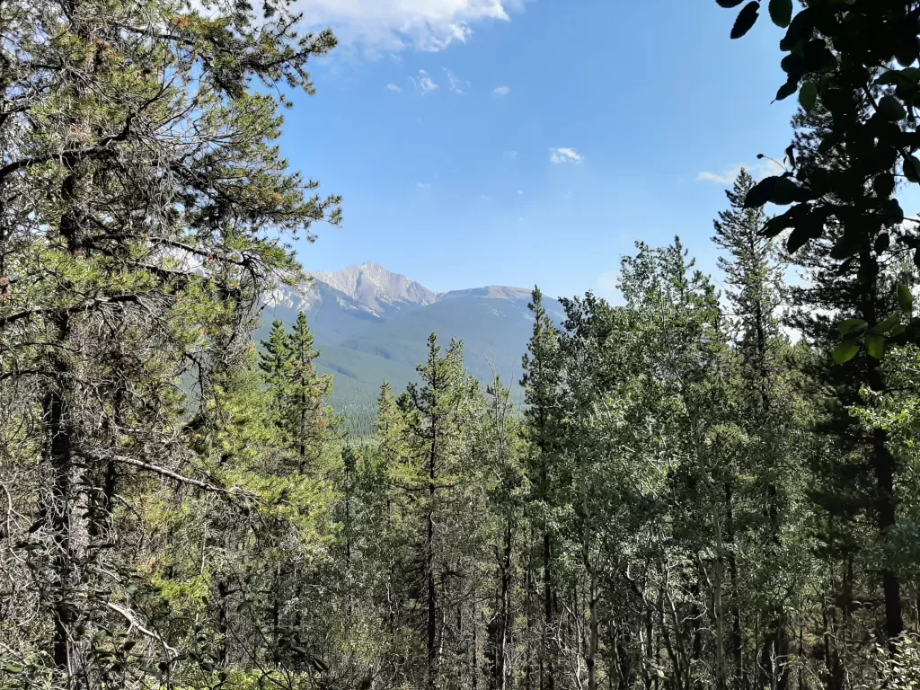
Nice easy hike with great views of the surrounding mountains and river. Beautiful waterfall and forests. This hike is suitable for all skill levels. If you are visiting it in summer be prepared to see lush flora, Grey Jays, squirrels, and possibly even a bear.
Upper Troll Falls

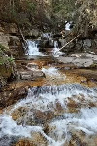
Upper Troll Falls was formalized in 2020 as an extension to the original Troll Falls trail. This scenic trail provides views of numerous cascades along Marmot Creek.
Other Day Hikes Near Troll Falls Kananaskis AB

If you are looking for some other day hikes that are popular to go on in Kananaskis here is a list to give you some more options that will be sure to keep you busy exploring all day.
Barrier Lake Lookout – The starting point of the trail Hwy. 40 (Kananaskis Trail) at Barrier Dam day-use area.
Centennial Ridge of Mount Allan – On Hwy. 40 (Kananaskis Trail). Turn west onto the road to Nakiska Ski Area (Mt. Allan Drive). Turn first left onto Centennial Drive, then next right onto Ribbon Creek Road. Drive to the far end parking lot (picnic area).
Ribbon Falls – Hwy. 40 (Kananaskis Trail). Turn west onto the road to Nakiska Ski Area (Mt. Allan Drive). Turn first left onto Centennial Drive, then next right onto Ribbon Creek Road. Drive to the far end parking lot (picnic area).
Lillian Lake – From the Trans-Canada Highway (Hwy. 1), drive 32 km south on Hwy. 40 (Kananaskis Trail) to the Galatea day-use area.